During their different journeys of the MEMORIA Norway project, SpringerParker will update the Logbook on a regular basis.
It documents their route and events in forms of on location photos and descriptions sent directly via the mobile phone to this website.
Clicking at the geographical data to the left of the entries lets you follow their route on the map.
EXPLORATION WINTER (March–April 2009)
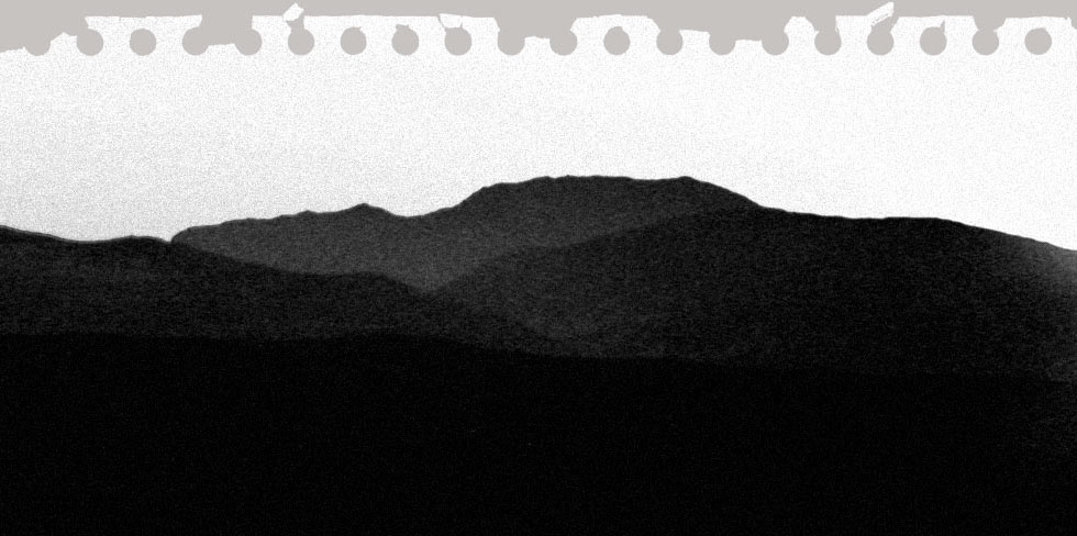
Mar-14-09 - 15:56
Munkfjorden
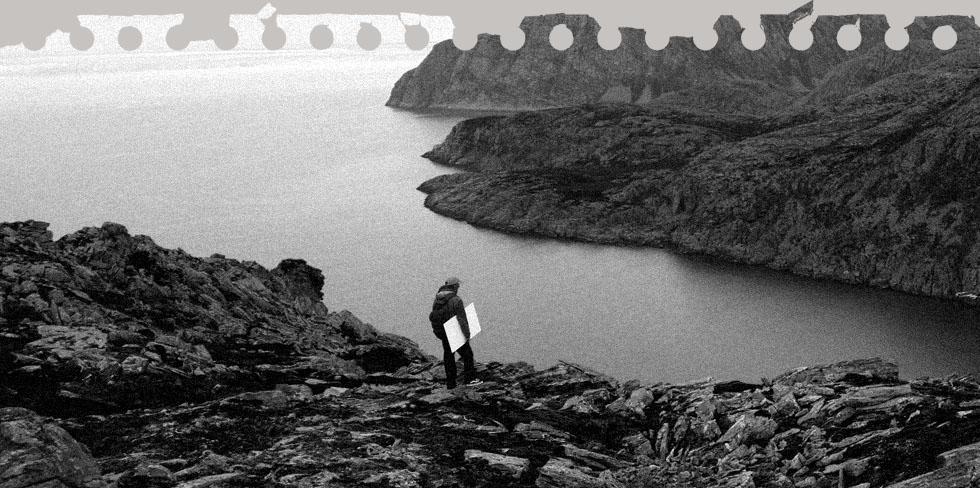
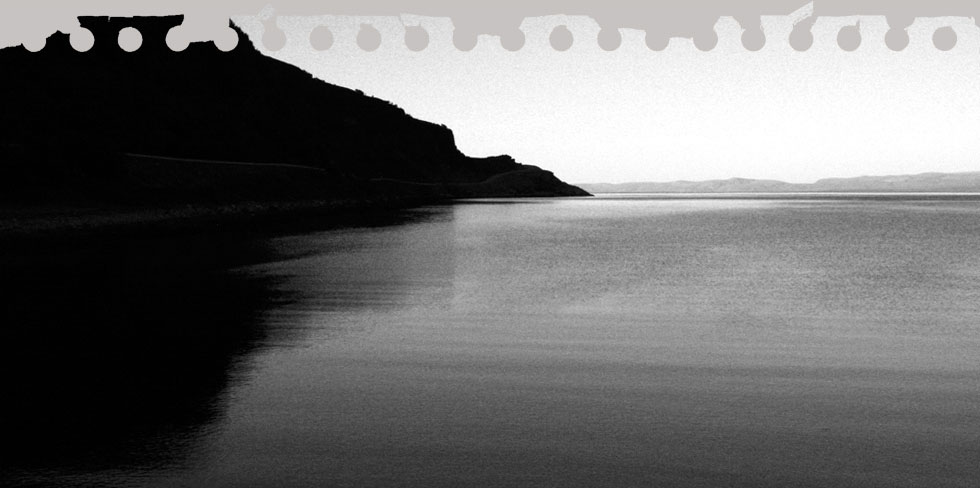
We ended up doing sound recordings along the Munkfjorden.
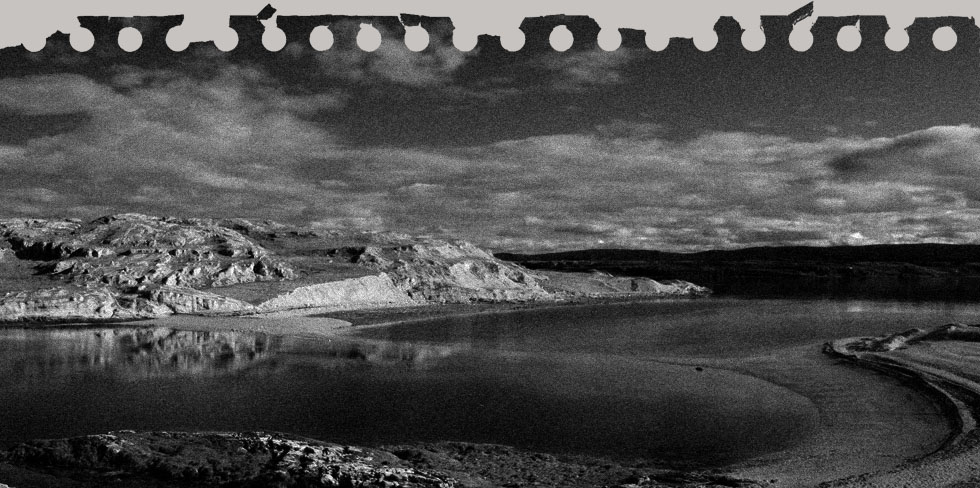
Mar-14-09 - 15:25
Going westwards
Finally the sun showed up, so we drove westwards along the 887. After passing an area where they attached military restriction like no camping no stopping no photos (which kind of all would have applied to us) we found a nice spot to do all of the above.

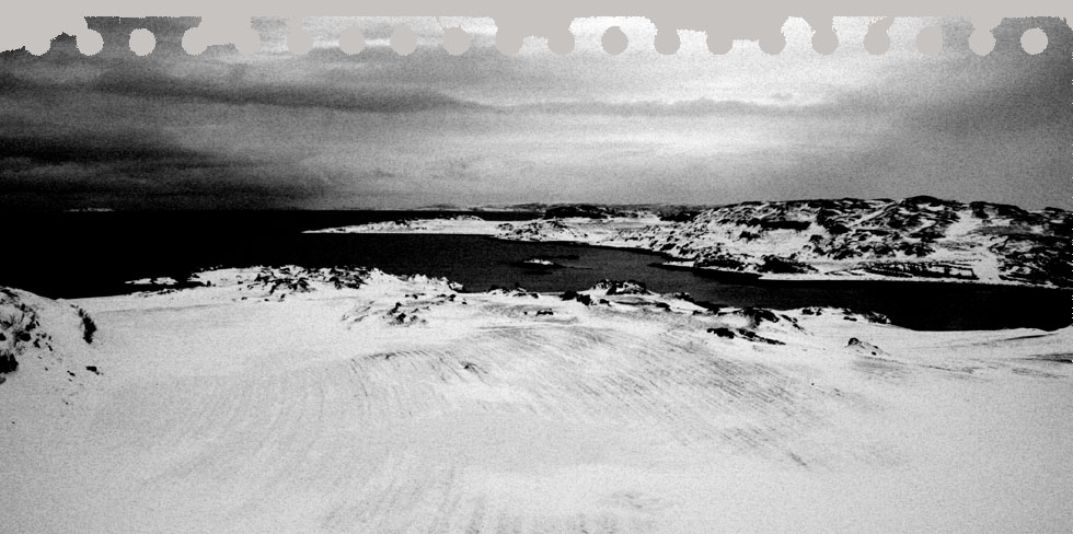
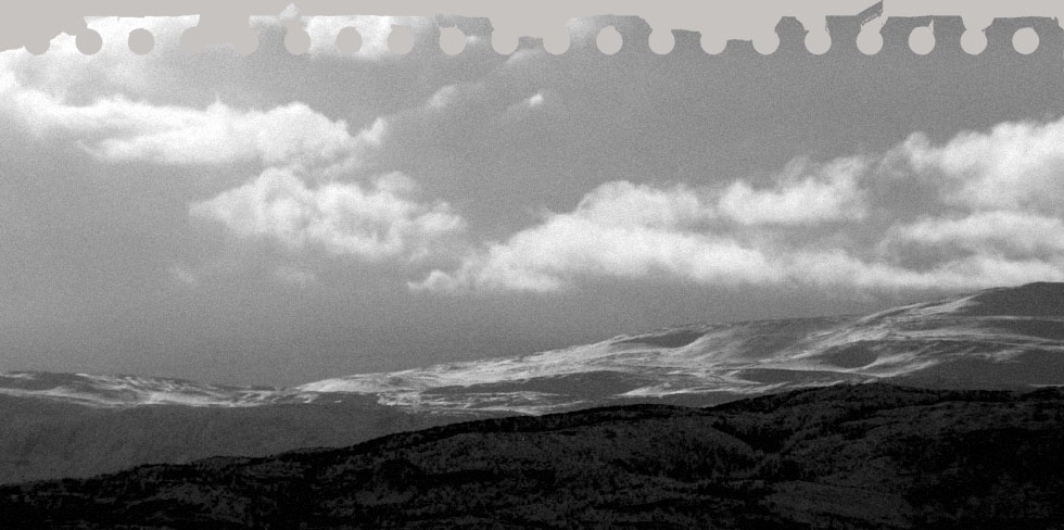
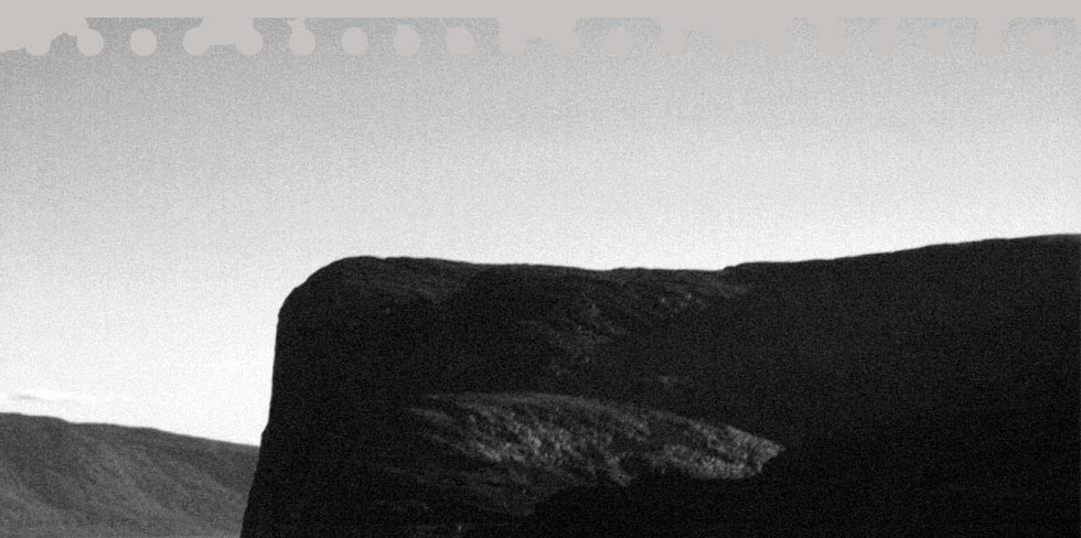
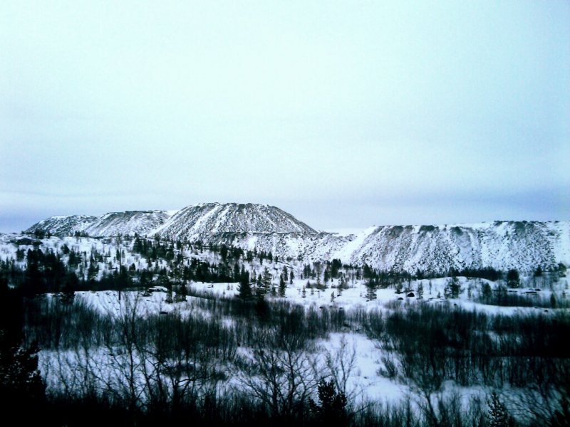
Mar-14-09 - 14:48
Topless mountains
On our way back to Kirkenes. What you see is how the mining changed the landscape.
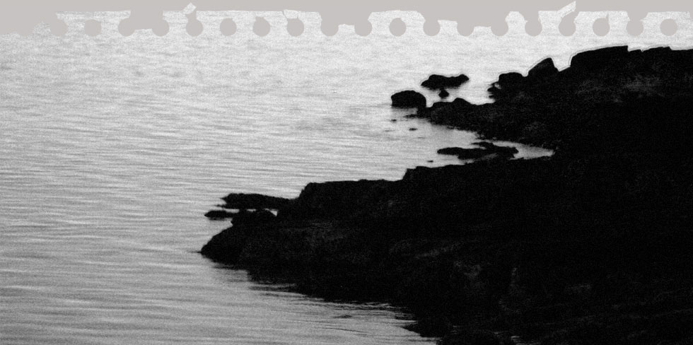
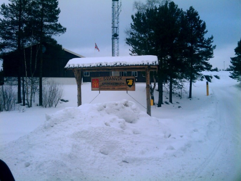
Mar-14-09 - 14:08
Nikel
We are driving along the border, visible by yellow wooden markers. This is as close as we can get to Nikel, the Russian sister city of Kirkenes. You can see it on the map.
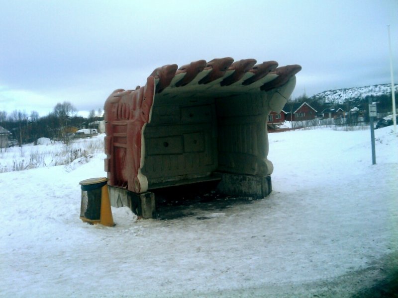
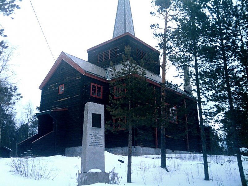
Mar-14-09 - 14:03
Svanvik Chapel
The wooden Svanvik Chapel surrounded by pine trees was built in the early 30ies. Unfortunately it was closed today.
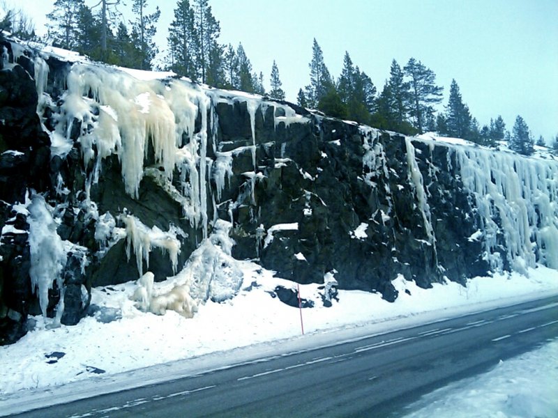
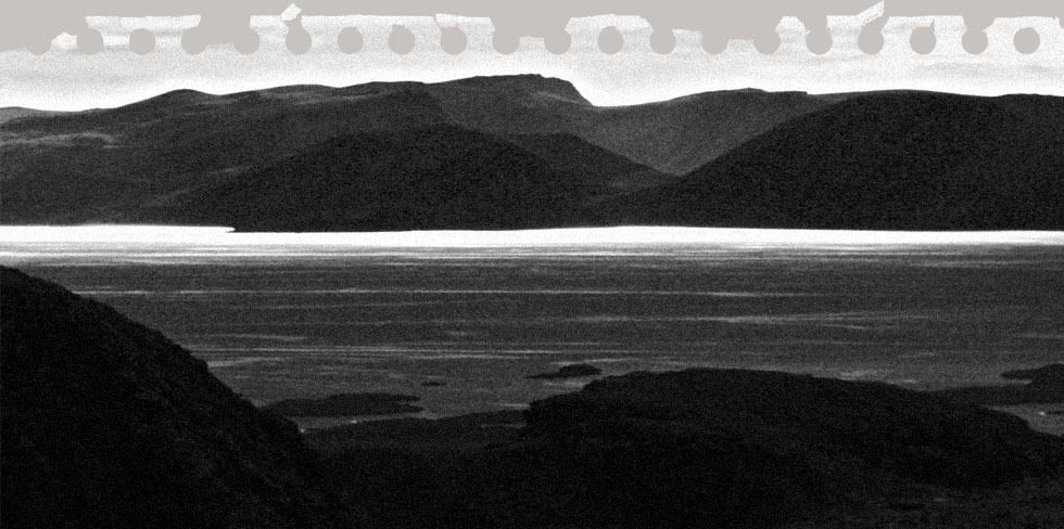
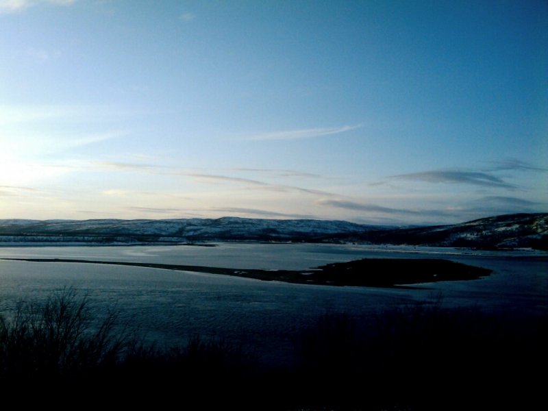
Mar-14-09 - 12:49
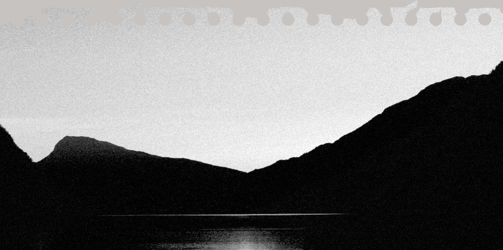
Frozen
Stopped for another beautiful view along the frozen Langfjorden. On the opposite side, a frequently viewed phenomenon along roads through the mountains. They come in many different colors but icy blueish green is the most fascinating.